

At The Epicenter: What if all Covid‑19 deaths in Brazil happened in your neighborhood?
Find out what would happen if your address was the epicenter of the Covid‑19 pandemic in Brazil.
Published on .
Data updated on ...
Up until yesterday, thousands of people had died due to Covid‑19 in Brazil.
But it can be difficult to visualize what this means in a country so large. These deaths are spread over all 27 Brazilian states. More than half of all Brazilian cities have been affected.
What if they had happened near you?
Since the major Covid‑19 outbreaks happened in a few metropolitan areas, many Brazilians don’t see the effects of the disease in their daily lives.
In order to make the dimension of our losses easier to understand, this simulation shows what would happen if all confirmed Covid‑19 deaths in the country happened around your address.
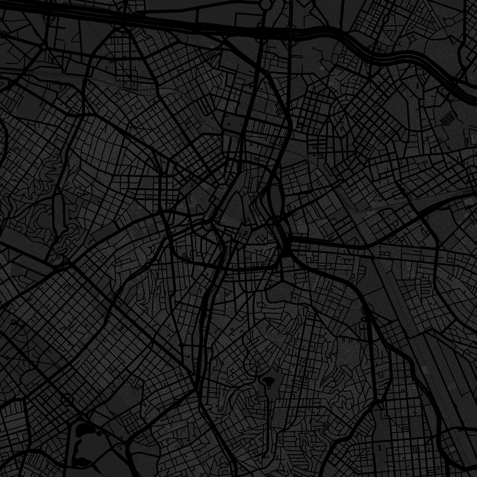
After you start this experience, you will see a circle drawn around your location: in such a scenario, everyone who lives in that area would have died.
How far would this emptiness go?
How does the simulation work?
The death radius displayed around you depends on your location and on the number of people who live near you.
In order to determine the size of the radius, we use data from the Brazilian census tracts. The tracts are small territorial blocks which were drawn by IBGE – the Brazilian Institute of Geography and Statistics.
Some tracts are buildings in a city. Others, blocks or neighborhoods. We know exactly how many people lived in each of these areas in 2010, when the last census was done.
The simulation sums the population of all the tracts around you until it reaches a total that is close to the total Covid‑19 deaths in the country.
For this calculation, we use the death count as reported by Brasil.io, a group of volunteers that has been gathering data from epidemiological reports since the beginning of the pandemic.
The full methodology involves drawing increasing radiuses, calculating intersections and making statistical estimates.
The source code is available on GitHub, along with a more detailed description of all the math behind this piece.
Skip to to the the address search fieldTeam
This project was made in partnership by Agência Lupa and Google News Initiative. All the professionals involved worked remotely.
- Art direction
- Alberto Cairo
- Data and storytelling
- Rodrigo Menegat
- Design and development
- Vinicius Sueiro
- Development
- Tiago Maranhão
- Distribution strategy
- Gilberto Scofield Jr.
- Editing
- Natália Leal
- Google News Initiative
- Simon Rogers, Marco Túlio Pires


